Appearance
Route planning
MVOW can plot the location of multiple properties on a single Google Map. You can also use it to plan a close-to-optimal route should you want to visit each property in turn. This is an excellent way of minimising travel time.
Plotting property locations and route planning using Google Maps depends on optional configuration. The features described below will only work when your company has configured MVOW to work with Google Maps.
Talk to your system administrator about whether MVOW has been configured for use with Google Maps.
View properties plotted on a Google Map
To view property locations plotted on a Google Map
- From a property Search results page, select the properties you want plotted on a map.
- Press Google Maps
 . A drop-down menu will appear.
 - From the drop-down menu, select View in Google Maps
 .
. - The Google map will display with pins marking each property location.
Discovering the location of properties
Let's say that a valuer—we'll call him Hercules—wants to visit a collection of sewerage works on the Central Coast.
A search yields the following results.

With these search results in front of him, Hercules could then click Select all followed by the Google Maps  button.
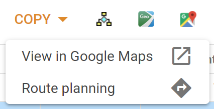
A menu will pop up:

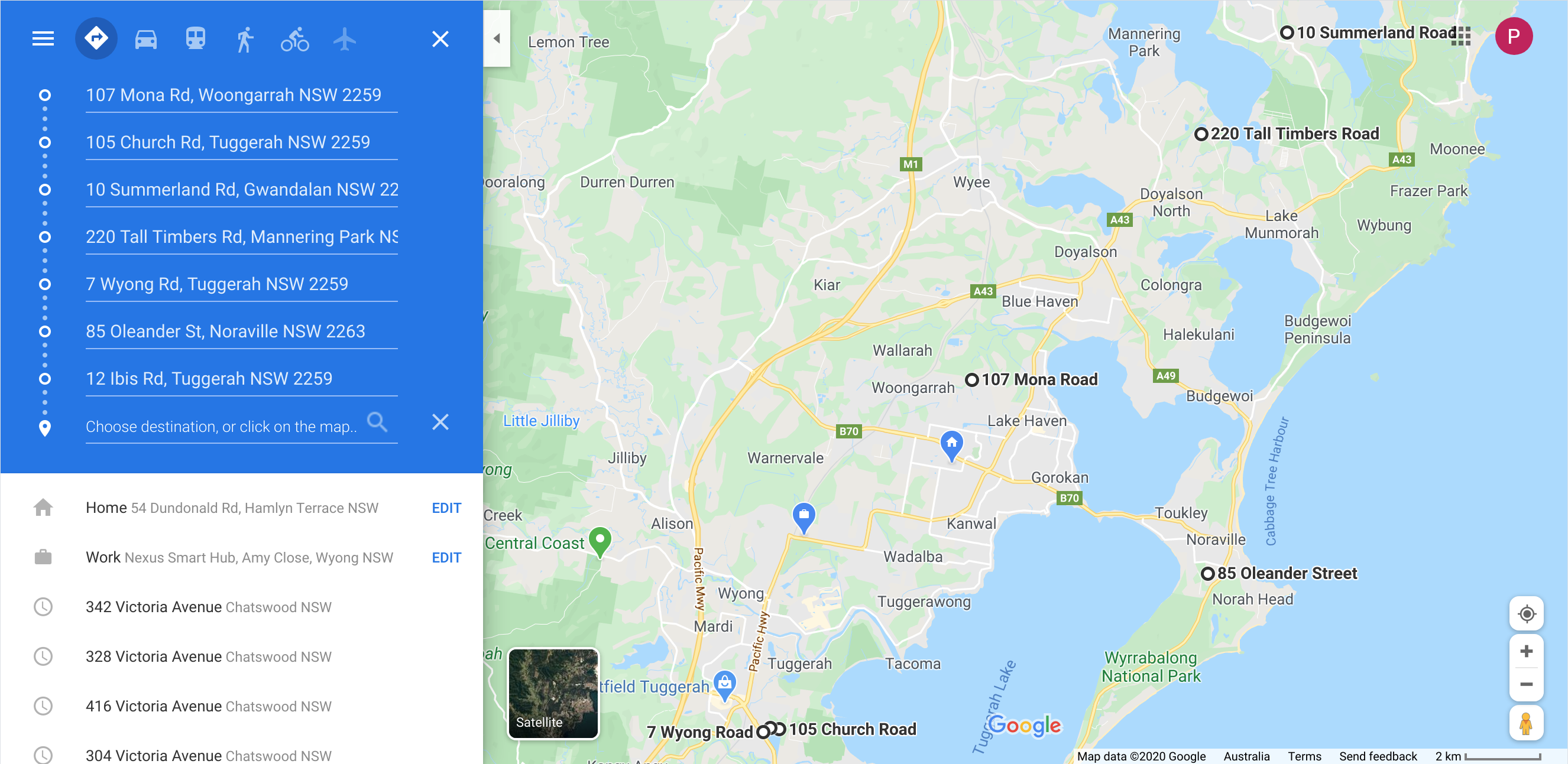
Hercules selects the View in Google Maps ![]() button. That results in a page looking like this (after a little scrolling and zooming).
button. That results in a page looking like this (after a little scrolling and zooming).

The addresses are plotted with black circles, next to the address on the map. Hercules can use this to get an idea of the relative location of the properties.
Route planning using Google Maps
To plan a route using Google Maps
- From a property Search results page, select the properties you want to visit.
- Press Google Maps
 . A drop-down menu will appear.
 - From the drop-down menu, select Route planning
 .
. - A route finding dialog appears, allowing you to enter your route starting point (e.g. home or office location) and to select from the selected properties your route ending point.
- You can optimise for time or distance.
- Press Plot Route. The Google Map will display in a separate tab showing the optimal route from the start location to the end location.
Planning an optimal route
Back to Hercules. Let’s say he wanted to leave from the Nexus Hub in Wyong, 3 Amy Close, and to finish at the 107-135 Mona Rd plant before returning to the Hub.
With the search results still selected, Hercules would press Google Maps  and then Route planning
  .
.
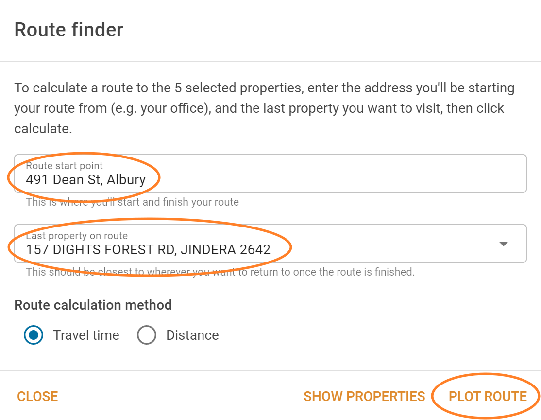
MVOW would then show the Route finder dialog.

Hercules enters his starting point and selects from the list of properties end location, and chooses to optimise time (rather than distance). When he’s ready, he presses Plot Route.
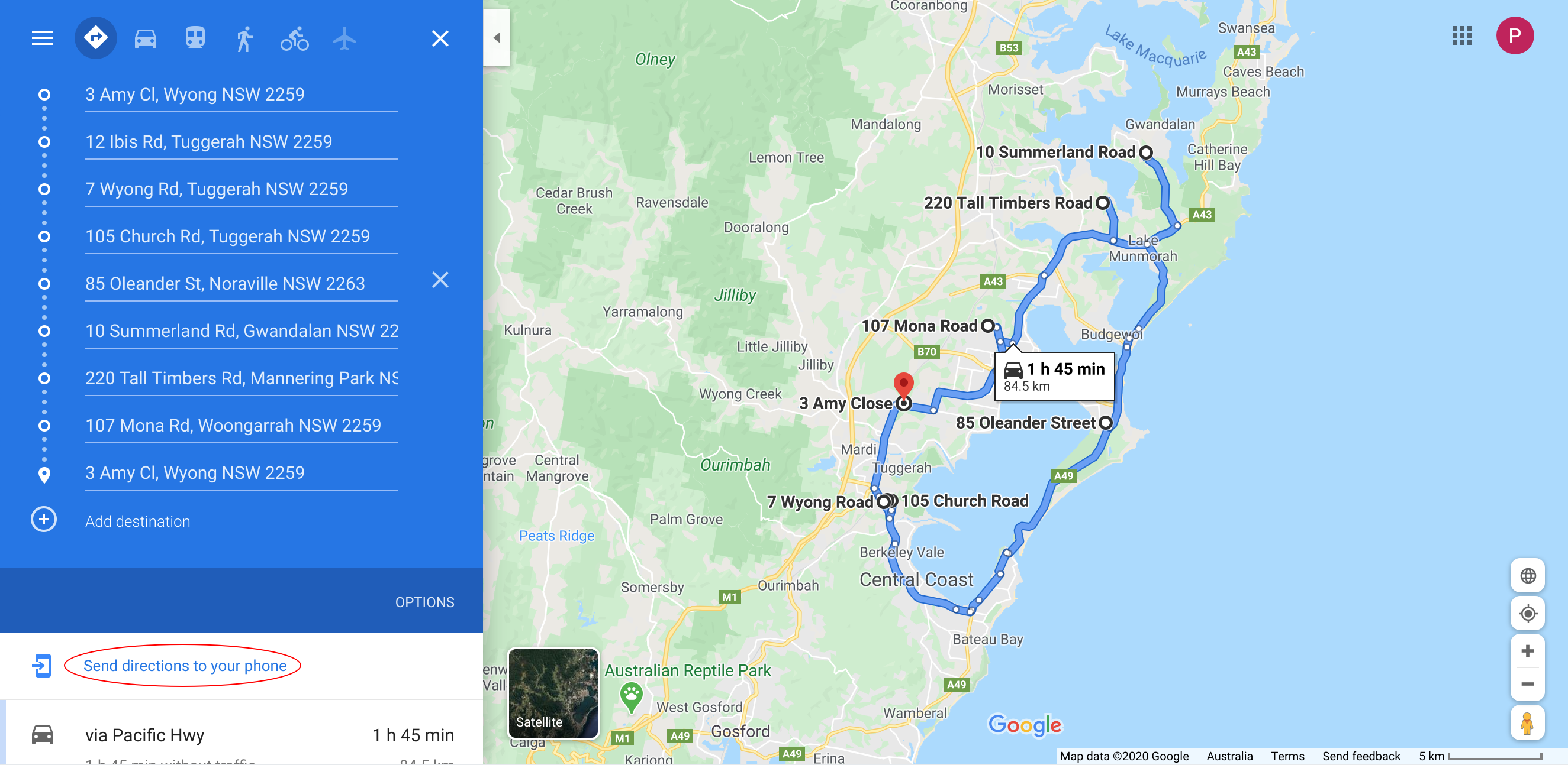
The system will think a bit, and then open a tab with the following map.

If you're logged in to a Google account, and Google knows about your phone, you can have the directions sent to your phone (see the circled link).
Google’s API is limited to mapping ten property locations. That means you're limited to plotting an optimal route for a starting location plus nine other properties.
Or, if you don’t need a starting location, you can map ten properties.